
PostCast
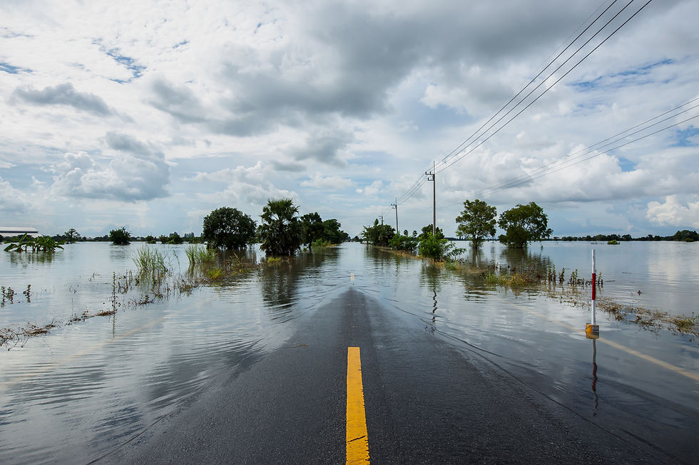
Access flood inundation extent and depth intelligence at state-wide scale to determine the specific people, property and critical infrastructure impacted by the flood.
Max inundation extent and depth at flood peak
Updated every 12 hours
Integrates into existing GIS platform
Resolution as fine as 1 metre

What PostCast Offers
Recover faster.
You no longer need to send people into the field to survey debris lines, conduct rapid damage assessments and complete manual claims assessments. With PostCast, you can save valuable time and recover faster, especially when the flood covers a large area, by conducting desktop assessments.
PostCast offers property-level accuracy to quickly identify where resources need to be deployed first. Being able to rapidly identify the impacts, quickens restoration efforts and emergency relief distribution.
Why Choose PostCast
Map the maximum flood extent and depth
Identify people, property, and critical infrastructure impacted by the flood
Plan rebuilding programs
Repopulate and re-home evacuated communities faster
Optimize recovery efforts
Targeted deployment of resources and field crews
Accelerate clean-up activities
Communicate more effectively with the community
Understand economic and societal considerations
Estimate reconstruction costs
Fast track funding applications
Prioritize psychological support activities and community wellness programs
Get a head start on recovery
With PostCast, you can:

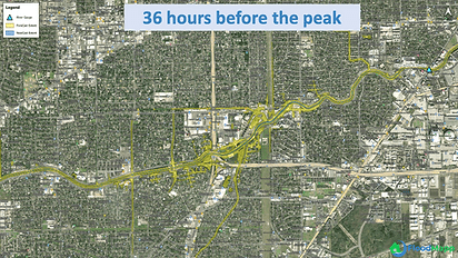
Case Study
Houston Floods 2017
Background
Hurricane Harvey formed as a tropical depression that developed into a Category 4 hurricane which made landfall along the Texas coast near Port Aransas around 10pm on August 25, 2017. Hurricane Harvey brought widespread, sustained, high intensity rainfall across Harris County in the evening of August 26, 2017.
-
US$125 billion in total damages
-
13 million people affected
-
250,000 households without power
Problem
Power utilities, like AEP, had US$525 million in recovery losses, on top of lost revenue from outages and being underprepared.
Solution
FloodMapp PostCast could allow rapid damage assessments for emergency managers, asset owners and humanitarian organizations.
_edited.jpg)


