
US local governments encouraged to reduce cost of recovery
- Mar 28, 2023
- 3 min read
Recovering from disasters is financially expensive and costs are increasing. However, there are actions local governments can take to implement flood mitigation activities to reduce the cost of recovery. In this blog, we’ll be diving into how FloodMapp can help National Flood Insurance Program (NFIP) policyholders receive a reduction in their premium.
At the national level in the United States (US), the Department of Homeland Security’s Federal Emergency Management Agency (FEMA) is responsible for managing the NFIP, which is focused on reducing future flood damage and protecting property owners.
To supplement the NFIP, the Community Rating System (CRS) was established in 1990. It’s a voluntary program encouraging and recognizing community floodplain management activities that exceed the minimum NFIP standards. The CRS is a point-based system that incentivizes participation by providing flood insurance rate reductions based on the number of approved credits a community can acquire. Flood insurance premium discounts in CRS communities range from 5% to 45%.
Classifications are based on 19 creditable activities, organized into four main categories:
Public Information Activities
Mapping and Regulation
Flood Damage Reduction Activities
Flood Warning and Response
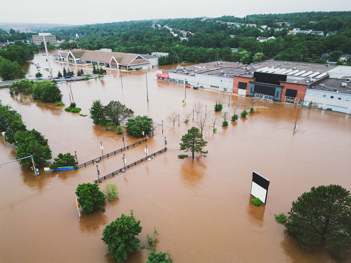
FloodMapp products (ForeCast, NowCast and PostCast) directly and indirectly relate to a number of topics included within these categories, as shown in Image 1. The most direct linkage between FloodMapp products and the CRS is activity 610: Flood Warning and Response, which is based on the principle that ample warning, combined with a flood response plan, can prevent loss of life and damage to property. Credits are organized around the following flood preparedness principles:
Advance notification of an impending flood (up to 75 points)
Issuing warnings to the threatened population (up to 75 points)
Taking steps to protect life and reduce losses during the flood (up to 115 points)
Coordinating with critical facilities (up to 75 points)
Being StormReady (up to 25 points).

Image 1: CRS activities supported both directly and indirectly by FloodMapp products
If you are interested in updating your CRS documents, or applying for CRS credits for the first time, consider how incorporating real-time flood inundation mapping can better inform your flood risk and ensure rapid flood-threat analysis and response.
Furthermore, you can also consider:
How useful would it be to have the ability to map the potential flood water extent before it floods? How would you use this type of flood intelligence – more precise evacuations, road closures, sandbagging?
How would you use real-time flood extent maps during an event – emergency vehicle re-routing, informing the public, enhancing your common operating picture?
How much value would that add to your response efforts if you knew where it was currently flooding while it was dark during the night?
More information on the CRS application process can be found here: https://www.fema.gov/floodplain-management/community-rating-system
If your community is one of the 23,000 US communities participating in the NFIP, feel free to reach out to FloodMapp to request a demo to see how our products could be part of your overall floodplain management response.
A comprehensive approach to floodplain management not only helps reduce the risk to life and property during an event but can also reduce annual flood insurance premiums for all.
FloodMapp has recently partnered with FEMA to provide dynamic understanding of flood event impacts to people and specific properties, before, during and after flood events.
For the first time, FEMA can now leverage FloodMapp’s operational flood intelligence to plan, analyze and respond to flood impacts. This can ultimately fast track government emergency preparation, response and community recovery.


Great piece! I really appreciated how thoroughly you covered this topic and presented all the different perspectives. Explore further Keep up the excellent work!
Excellent reporting! This is exactly the kind of in-depth, well-researched journalism we need more of. Read the full article Really appreciate you taking the time to cover this important story so thoroughly!
This is a really helpful breakdown. I’ve been testing tools like Imgveo for visual content generation and the speed is pretty impressive.
It's crucial for local governments to adopt flood mitigation strategies that can significantly lower recovery costs. For more insights on effective measures, check out this resource on the orb of creation.
Great article! 소액결제 현금화 I really appreciated how clearly you explained such a complex topic. This kind of thoughtful reporting makes such a difference in helping readers understand what's really going on!